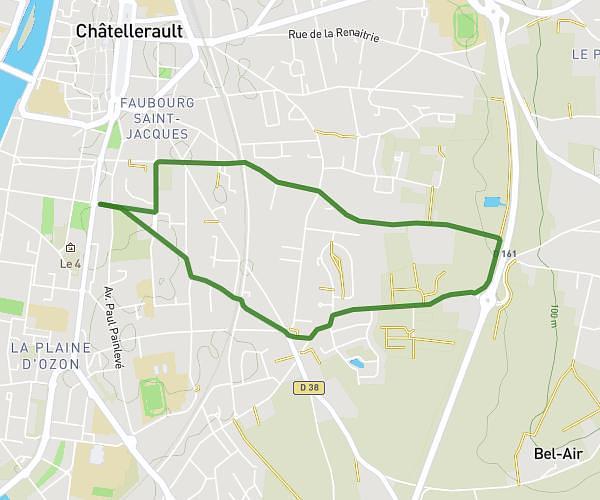
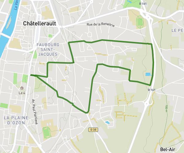
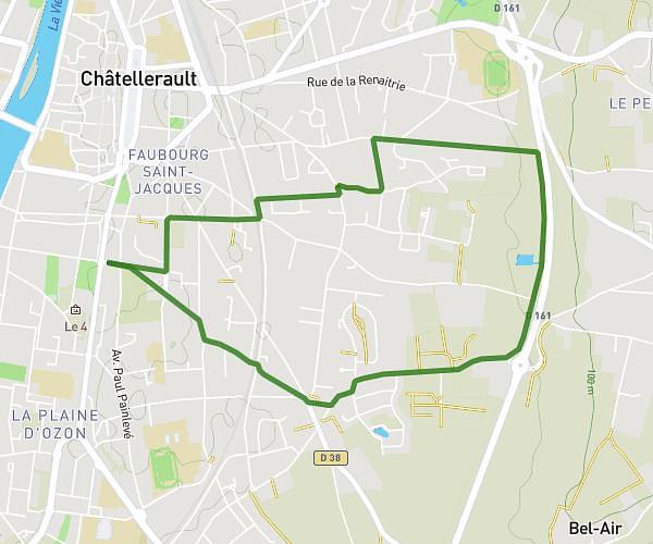
This running route covers 2.85mi starting from Poitiers, Vienne. The run is a loop trail and returns to the trailhead. This run is rated as easy, expect about 25m3s to complete it. The route has an elevation gain of 43ft and an elevation loss of 43ft.
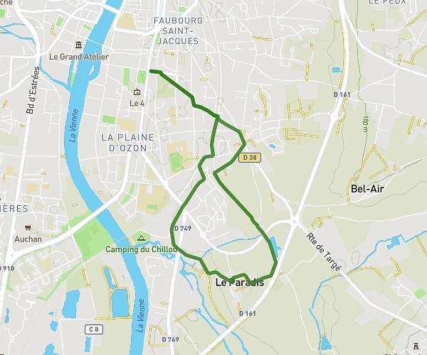
5km Breuil Mingot
Route details
6.82mph
Speed
286 kcal
Calories burned
Loop trail
Route type
348ft
Min altitude
390ft
Max altitude
Route profile
43ft
Elevation gain
43ft
Elevation loss
348ft
Min altitude
390ft
Max altitude
How to get there
Trailhead: Rue Micheline Ostermeyer, 86000 Poitiers
GPS coordinates of the trailhead: 46.58082, 0.38595 / 46°34'50'' N, 0°23'9'' E