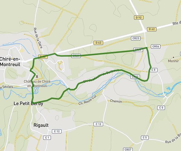
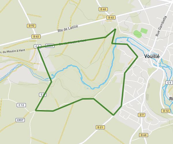
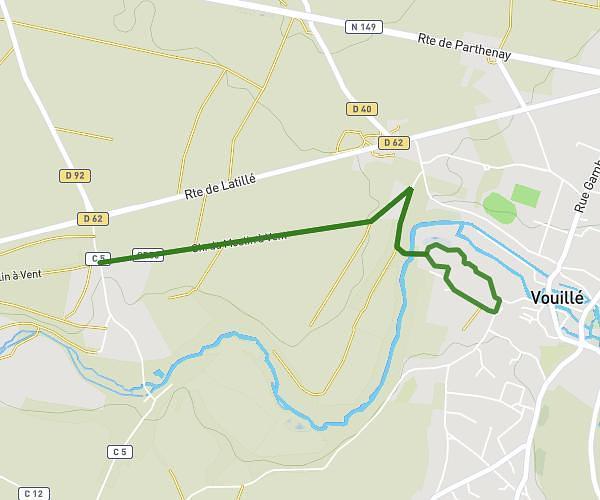
This running route covers 8.121mi starting from Lusignan, Vienne. The run is a loop trail and returns to the trailhead. This run is rated as hard, expect about 1h20m to complete it. The route has an elevation gain of 66ft and an elevation loss of 82ft.
Lusignan 14km
Route details
6.09mph
Speed
915 kcal
Calories burned
Loop trail
Route type
400ft
Min altitude
476ft
Max altitude
Route profile
66ft
Elevation gain
82ft
Elevation loss
400ft
Min altitude
476ft
Max altitude
How to get there
Trailhead: Chemin Des Templiers, 86600 Lusignan
GPS coordinates of the trailhead: 46.45905, 0.14312 / 46°27'32'' N, 0°8'35'' E