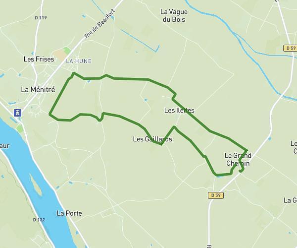
This running route covers 4.296mi starting from Saumur, Maine-et-Loire. The run is a loop trail and returns to the trailhead. This run is rated as easy, expect about 41m to complete it. The route has an elevation gain of 354ft and an elevation loss of 335ft.
Petit parcours
Route details
6.29mph
Speed
469 kcal
Calories burned
Loop trail
Route type
190ft
Min altitude
308ft
Max altitude
Route profile
354ft
Elevation gain
335ft
Elevation loss
190ft
Min altitude
308ft
Max altitude
How to get there
Trailhead: 7 Rue Des Plantagenets, 49400 Saumur, France
GPS coordinates of the trailhead: 47.24878, -0.06373 / 47°14'55'' N, 0°3'49'' W