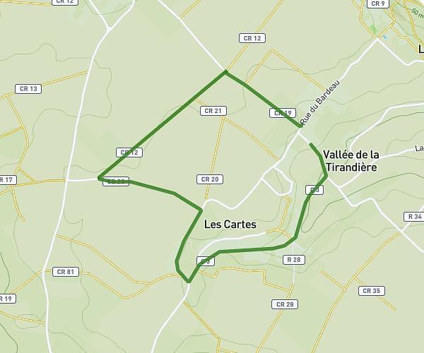
This running route covers 8.469mi starting from Morton, Vienne. The run does not return to the trailhead and ends near 449 Route Des Carres, 86120 Morton, France. This run is rated as hard, expect about 2h2s to complete it. The route has an elevation gain of 16ft and an elevation loss of 23ft.
Découverte morton
Route details
4.23mph
Speed
1372 kcal
Calories burned
Point to point
Route type
118ft
Min altitude
141ft
Max altitude
Route profile
16ft
Elevation gain
23ft
Elevation loss
118ft
Min altitude
141ft
Max altitude
How to get there
Trailhead: 458 Les Carries, 86120 Morton, France
GPS coordinates of the trailhead: 47.095441, 0.005664 / 47°5'43'' N, 0°0'20'' E