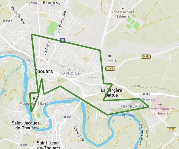
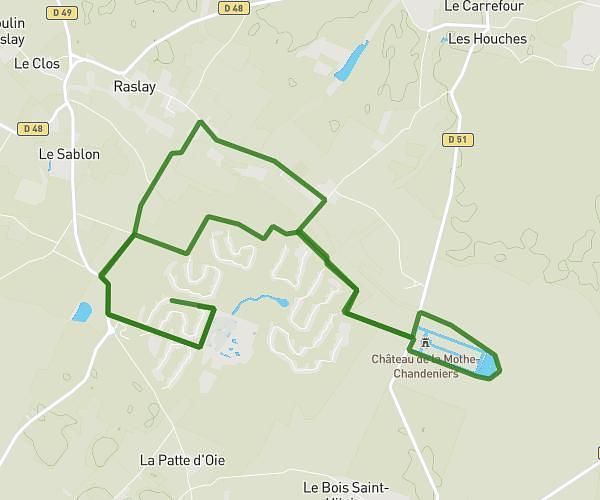
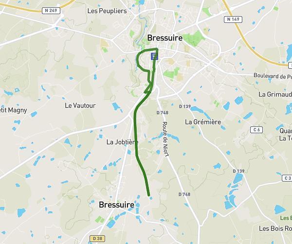
This running route covers 5.049mi starting from Saint-Varent, Deux-Sèvres. The run does not return to the trailhead and ends near 5 Rue De La Fontaine, 79330 Geay, France. This run is rated as moderate, expect about 54m to complete it. The route has an elevation gain of 128ft and an elevation loss of 0ft.
Retour du travail
Route details
5.61mph
Speed
617 kcal
Calories burned
Point to point
Route type
338ft
Min altitude
466ft
Max altitude
Route profile
128ft
Elevation gain
0ft
Elevation loss
338ft
Min altitude
466ft
Max altitude
How to get there
Trailhead: D 28, 79330 Saint-Varent, France
GPS coordinates of the trailhead: 46.896201, -0.241452 / 46°53'46'' N, 0°14'29'' W