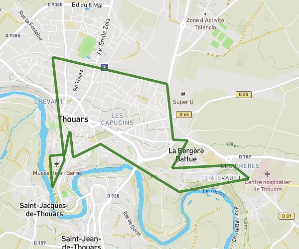
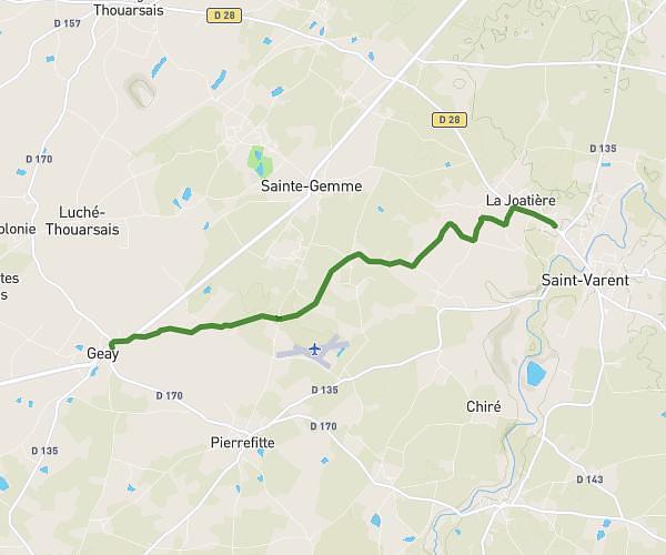
This running route covers 5.402mi starting from Bressuire, Deux-Sèvres. The run is a loop trail and returns to the trailhead. This run is rated as moderate, expect about 58m to complete it. The route has an elevation gain of 108ft and an elevation loss of 102ft.
Voie verte - Bressuire
Route details
5.59mph
Speed
663 kcal
Calories burned
Loop trail
Route type
499ft
Min altitude
607ft
Max altitude
Route profile
108ft
Elevation gain
102ft
Elevation loss
499ft
Min altitude
607ft
Max altitude
How to get there
Trailhead: 10 Montlaigne Terves, 79300 Bressuire, France
GPS coordinates of the trailhead: 46.80678, -0.4982 / 46°48'24'' N, 0°29'53'' W