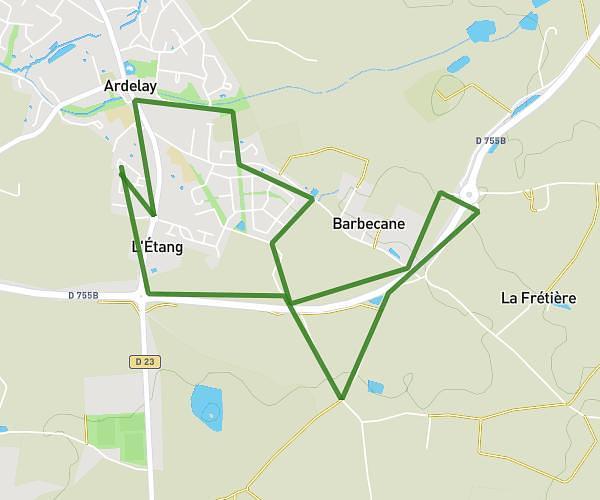
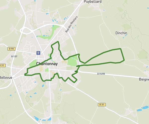
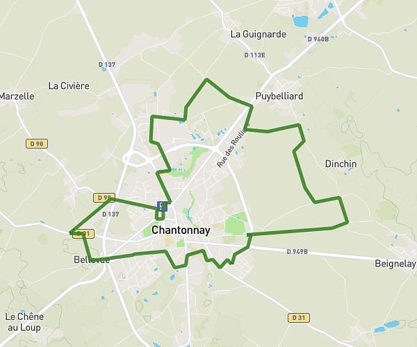
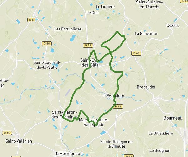
This running route covers 7.956mi starting from La Châtaigneraie, Vendée. The run is a loop trail and returns to the trailhead. This run is rated as hard, expect about 1h25m to complete it. The route has an elevation gain of 144ft and an elevation loss of 207ft.
13kms
Route details
5.62mph
Speed
972 kcal
Calories burned
Loop trail
Route type
407ft
Min altitude
614ft
Max altitude
Route profile
144ft
Elevation gain
207ft
Elevation loss
407ft
Min altitude
614ft
Max altitude
How to get there
Trailhead: 24 Chemin De La Taillée, 85120 La Châtaigneraie, France
GPS coordinates of the trailhead: 46.653073, -0.742376 / 46°39'11'' N, 0°44'32'' W