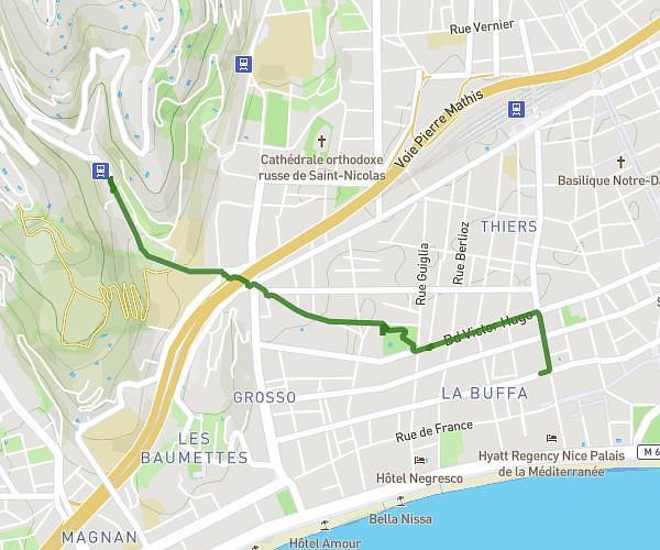
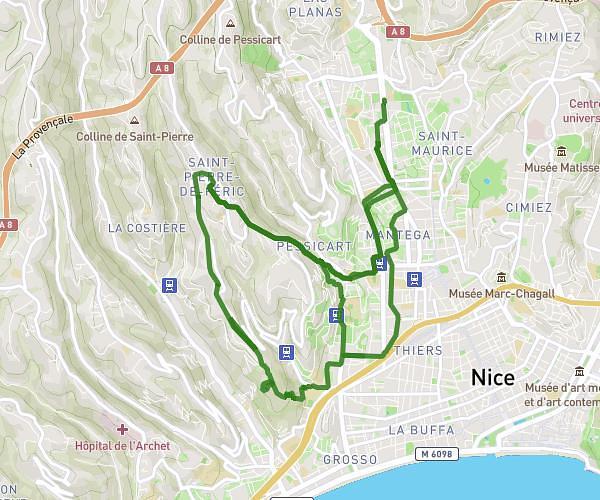
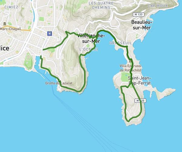
This hiking trail covers 14.8mi starting from Menton, Alpes-Maritimes. The hike does not return to the trailhead and ends near 5139 Avenue De La Liberté, 06360 Èze, France. This hike is rated as hard, plan for about 5h13m to complete it. The route has an elevation gain of 945ft and an elevation loss of 932ft.
Menton>Eze (Sentier des douaniers)
Route details
2.84mph
Speed
2235 kcal
Calories burned
2.4%
Avg grade
Point to point
Route type
10ft
Min altitude
299ft
Max altitude
Route profile
945ft
Elevation gain
932ft
Elevation loss
10ft
Min altitude
299ft
Max altitude
How to get there
Trailhead: 2 Avenue De La Gare, 06500 Menton, France
GPS coordinates of the trailhead: 43.774606, 7.493534 / 43°46'28'' N, 7°29'36'' E