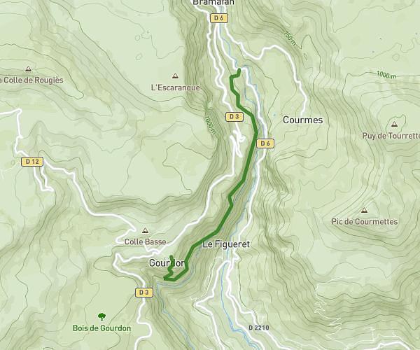
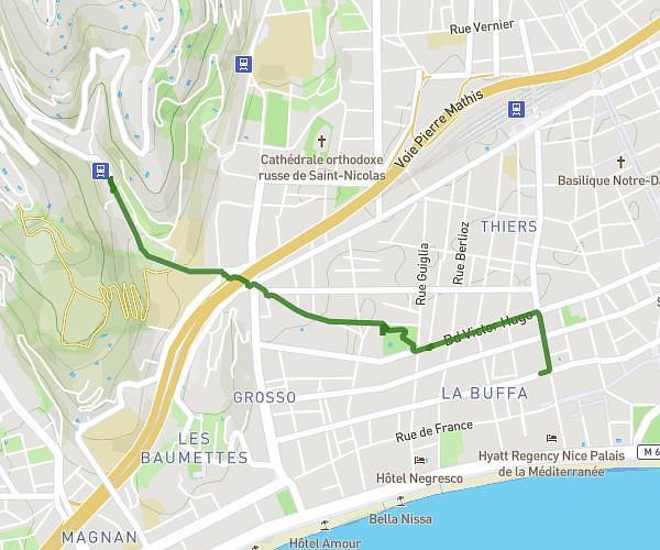
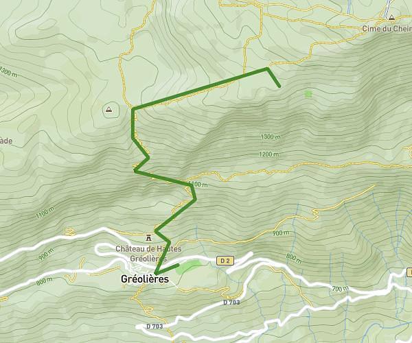
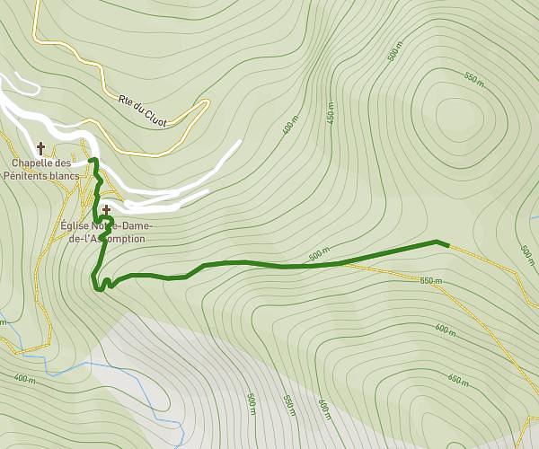
This hiking trail covers 12.035mi starting from Nice, Alpes-Maritimes. The hike does not return to the trailhead and ends near 62 Boulevard De Gorbella, 06100 Nice, France. This hike is rated as strenuous, plan for about 1s to complete it. The route has an elevation gain of 1844ft and an elevation loss of 1673ft.
Sortie scolaire
Route details
43324.98mph
Speed
-
Calories burned
5.5%
Avg grade
Point to point
Route type
56ft
Min altitude
804ft
Max altitude
Route profile
1844ft
Elevation gain
1673ft
Elevation loss
56ft
Min altitude
804ft
Max altitude
How to get there
Trailhead: 15 Boulevard Tzarewitch, 06000 Nice, France
GPS coordinates of the trailhead: 43.70271, 7.25379 / 43°42'9'' N, 7°15'13'' E