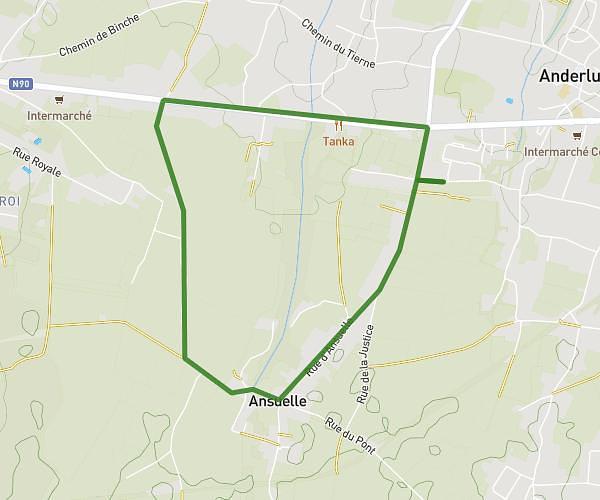
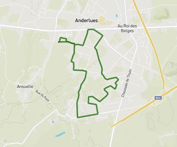
This running route covers 1.698mi starting from Charleroi, Hainaut. The run is a loop trail and returns to the trailhead. This run is rated as easy, expect about 22m to complete it. The route has an elevation gain of 98ft and an elevation loss of 95ft.
premier test
Route details
4.63mph
Speed
252 kcal
Calories burned
Loop trail
Route type
387ft
Min altitude
449ft
Max altitude
Route profile
98ft
Elevation gain
95ft
Elevation loss
387ft
Min altitude
449ft
Max altitude
How to get there
Trailhead: Rue Des Couturelles, 6044 Charleroi
GPS coordinates of the trailhead: 50.4472, 4.38906 / 50°26'49'' N, 4°23'20'' E