MapPlanner
7.187mi
Distance
2h34m
Duration
21:25/mi
Pace
Easy
Level

Etape 1 - Maissin Daverdisse

Route details

21:25/mi
Pace
629 kcal
Calories burned
Point to point
Route type
751ft
Min altitude
1102ft
Max altitude

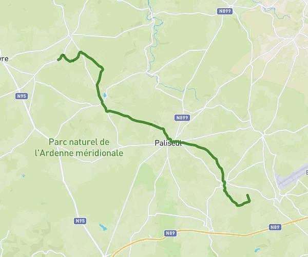
This walking route covers 7.187mi starting from Libin, Luxembourg. The walk does not return to the trailhead and ends near Rue De La Lesse 61, 6929 Daverdisse, Luxembourg, Belgium. This walk is rated as easy, plan for about 2h34m to complete it. The route has an elevation gain of 656ft and an elevation loss of 951ft.

Description of the route by the creator

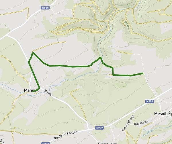
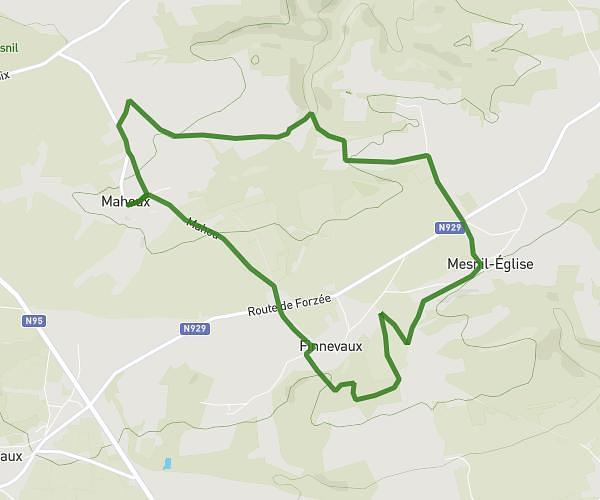
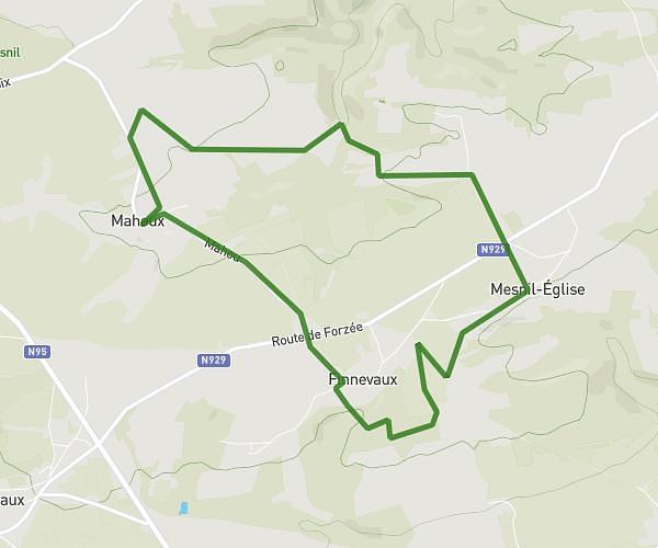
Stage 1 - Maissin (P between Lesse and Lhomme) -- Daverdisse (Hotel le Moulin de Daverdisse)

(Description automatically translated)

Route profile

656ft
Elevation gain
951ft
Elevation loss
751ft
Min altitude
1102ft
Max altitude

How to get there

Trailhead: Faux-Mayaux, 6890 Libin, Luxembourg, Belgium

GPS coordinates of the trailhead: 49.979362, 5.182783 / 49°58'45'' N, 5°10'58'' E

Caution: May Cross Private Property

This route may pass through or near private property. Always respect posted signs, obtain permission where required, and follow local trespassing laws. MapPlanner does not guarantee public access along any route.

Safety Notice

Trail and road conditions may change without notice due to weather, construction, or other factors. Always verify current conditions before heading out. You are responsible for your own safety — follow local signage, obey traffic laws, and use your best judgment on the trail.