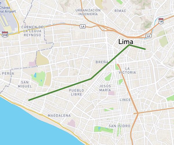
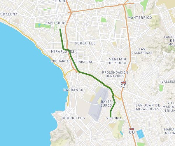
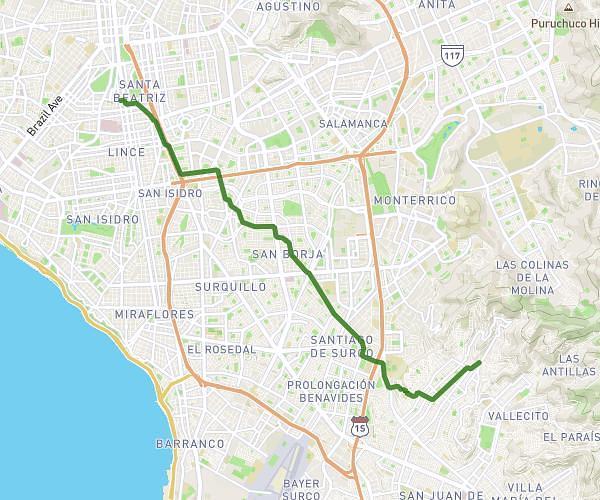
This cycling route covers 5.757mi starting from Lima, Lima Province. The ride is a loop trail and returns to the trailhead. This route is rated as easy, plan for about 40m to complete it. The route has an elevation gain of 108ft and an elevation loss of 118ft.
Bicicleta 2 vueltas Pentagonito
Route details
352 kcal
Calories burned
0.7%
Avg grade
Loop trail
Route type
505ft
Min altitude
568ft
Max altitude
Route profile
108ft
Elevation gain
118ft
Elevation loss
505ft
Min altitude
568ft
Max altitude
How to get there
Trailhead: Jirón Fray Angélico, Lima, Lima Province, Peru
GPS coordinates of the trailhead: -12.097357, -76.992496 / 12°5'50'' S, 76°59'32'' W