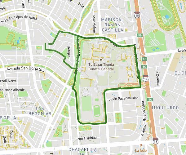
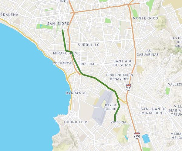
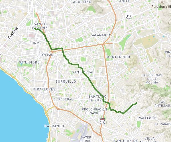
This cycling route covers 6.938mi starting from San Miguel, Lima Province. The ride does not return to the trailhead and ends near Jirón Junín 1181, Lima, Lima Province, Peru. This route is rated as easy, plan for about 44m39s to complete it. The route has an elevation gain of 584ft and an elevation loss of 171ft.
Quinta Heeren
Route details
399 kcal
Calories burned
2.1%
Avg grade
Point to point
Route type
151ft
Min altitude
564ft
Max altitude
Route profile
584ft
Elevation gain
171ft
Elevation loss
151ft
Min altitude
564ft
Max altitude
How to get there
Trailhead: Avenida Del Pacifico 111, San Miguel, Lima Province, Peru
GPS coordinates of the trailhead: -12.082694, -77.092629 / 12°4'57'' S, 77°5'33'' W