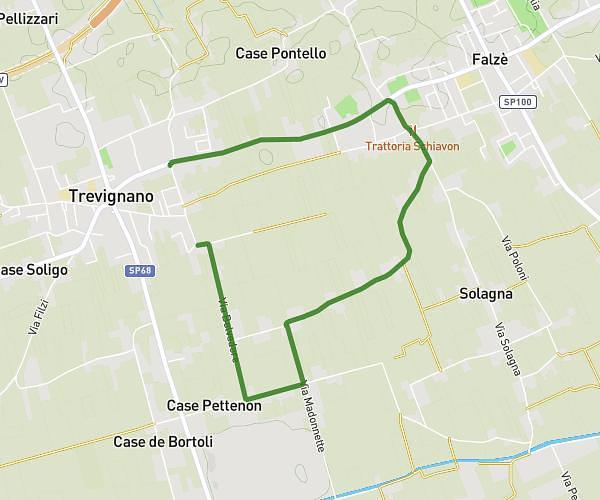
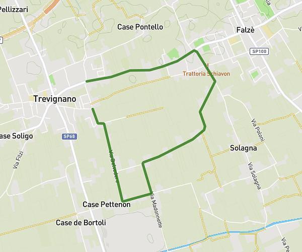
This running route covers 2.328mi starting from Cittadella, Padua. The run does not return to the trailhead and ends near Via Postumia Di Ponente 139, 35013 Cittadella Padua, Italy. This run is rated as easy, expect about 25m to complete it. The route has an elevation gain of 59ft and an elevation loss of 49ft.
giro 6/06
Route details
5.59mph
Speed
286 kcal
Calories burned
Point to point
Route type
164ft
Min altitude
187ft
Max altitude
Route profile
59ft
Elevation gain
49ft
Elevation loss
164ft
Min altitude
187ft
Max altitude
How to get there
Trailhead: Via Zeno Carmeli 14, 35013 Cittadella Padua, Italy
GPS coordinates of the trailhead: 45.663187, 11.772241 / 45°39'47'' N, 11°46'20'' E