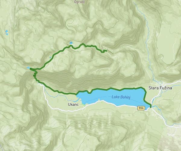
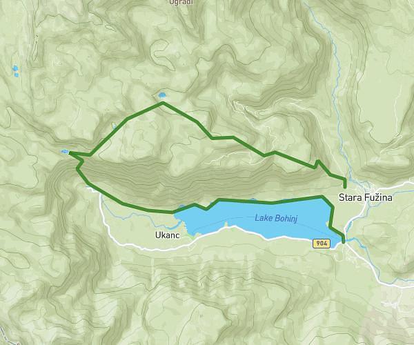
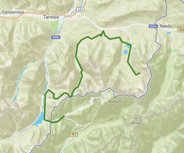
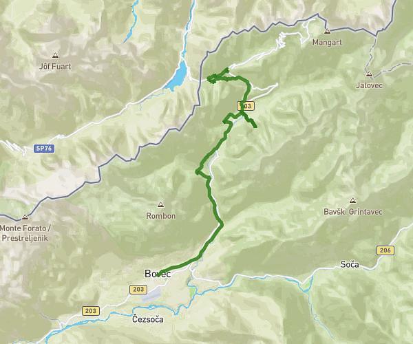
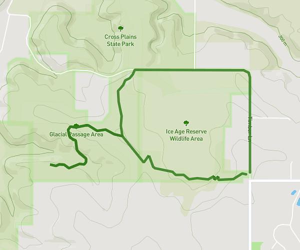
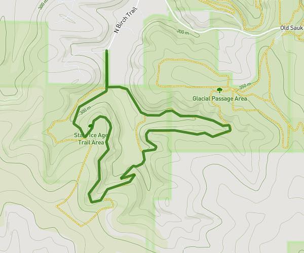
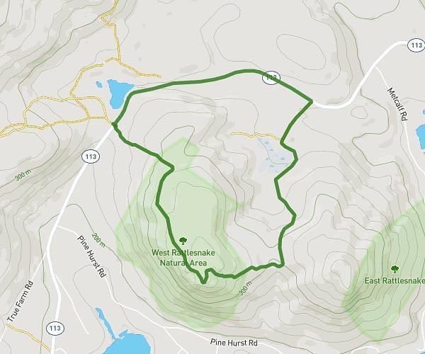
Explore this hiking route of 11,48mi starting from . The hike does not return to the starting point and ends near . This hike has no defined difficulty level, plan for about 3h41m to complete it. The route has a positive elevation gain of 3573ft and a negative elevation loss of 1959ft.
bovec-strmec
Route details
Route profile
3573ft
Elevation +
1959ft
Elevation -
1480ft
Min altitude
3281ft
Max altitude
How to get there
Route starting point:
GPS coordinates of the starting point: 46.33796, 13.55247 / 46°20'16'' N, 13°33'8'' E