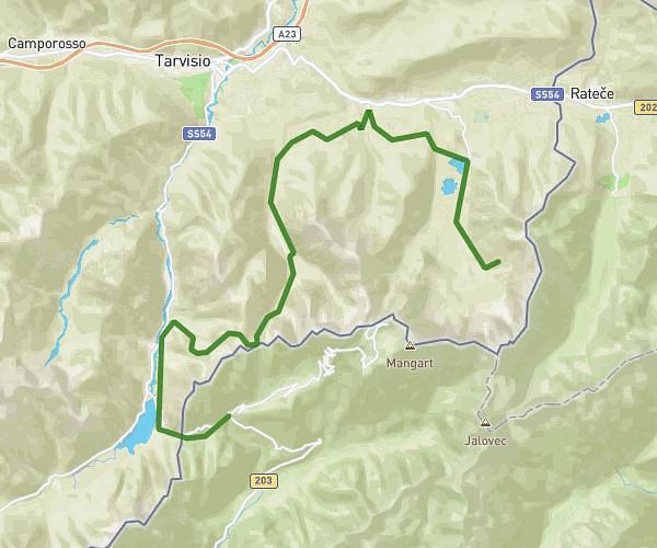
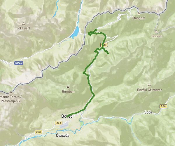
This hiking trail covers 19.331mi starting from Tarvisio, Udine. The hike does not return to the trailhead and ends near Log Pod Mangartom 46, 5231 Bovec, Slovenia. This hike is rated as strenuous, plan for about 6h13m to complete it. The route has an elevation gain of 4957ft and an elevation loss of 7392ft.
LOG POD MANGARTOM-Rif. Zacchi
Route details
3.11mph
Speed
2825 kcal
Calories burned
12.1%
Avg grade
Point to point
Route type
2057ft
Min altitude
5801ft
Max altitude
Steep climb
Route profile
4957ft
Elevation gain
7392ft
Elevation loss
2057ft
Min altitude
5801ft
Max altitude
How to get there
Trailhead: Strada Rifugio Zacchi, 33018 Tarvisio Udine, Italy
GPS coordinates of the trailhead: 46.45912, 13.68444 / 46°27'32'' N, 13°41'3'' E