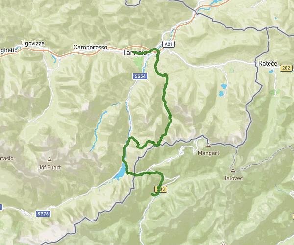
This running route covers 10.575mi starting from Tarvisio, Udine. The run does not return to the trailhead and ends near Borovška Cesta 76, 4280 Kranjska Gora, Slovenia. This run is rated as hard, expect about 3h24m to complete it. The route has an elevation gain of 0ft and an elevation loss of 1886ft.
Rif. ZACCHI-KRANJSKA GORA
Route details
3.11mph
Speed
2335 kcal
Calories burned
Point to point
Route type
2635ft
Min altitude
4521ft
Max altitude
Route profile
0ft
Elevation gain
1886ft
Elevation loss
2635ft
Min altitude
4521ft
Max altitude
How to get there
Trailhead: Strada Rifugio Zacchi, 33018 Tarvisio Udine, Italy
GPS coordinates of the trailhead: 46.45912, 13.68442 / 46°27'32'' N, 13°41'3'' E