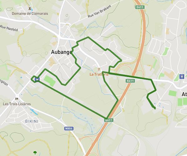
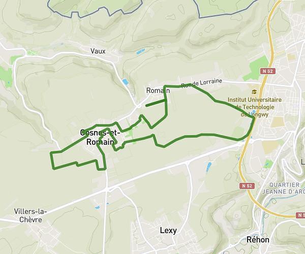
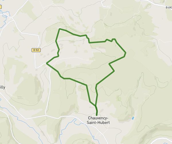
This running route covers 3.333mi starting from Arrancy-sur-Crusnes, Meuse. The run is a loop trail and returns to the trailhead. This run is rated as easy, expect about 32m to complete it. The route has an elevation gain of 98ft and an elevation loss of 62ft.
Campagne
Route details
6.25mph
Speed
366 kcal
Calories burned
Loop trail
Route type
814ft
Min altitude
912ft
Max altitude
Route profile
98ft
Elevation gain
62ft
Elevation loss
814ft
Min altitude
912ft
Max altitude
How to get there
Trailhead: Rue Mutel, 55230 Arrancy-sur-Crusnes
GPS coordinates of the trailhead: 49.41436, 5.65944 / 49°24'51'' N, 5°39'33'' E