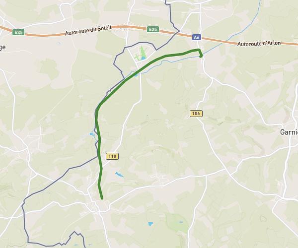
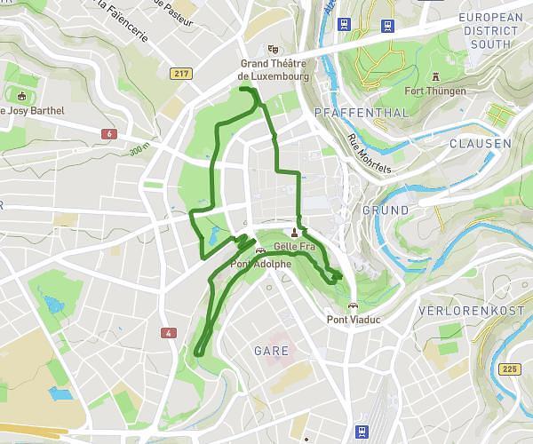
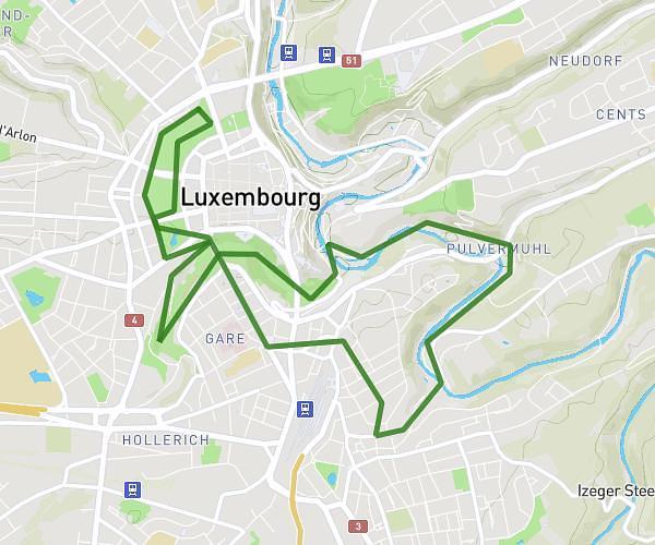
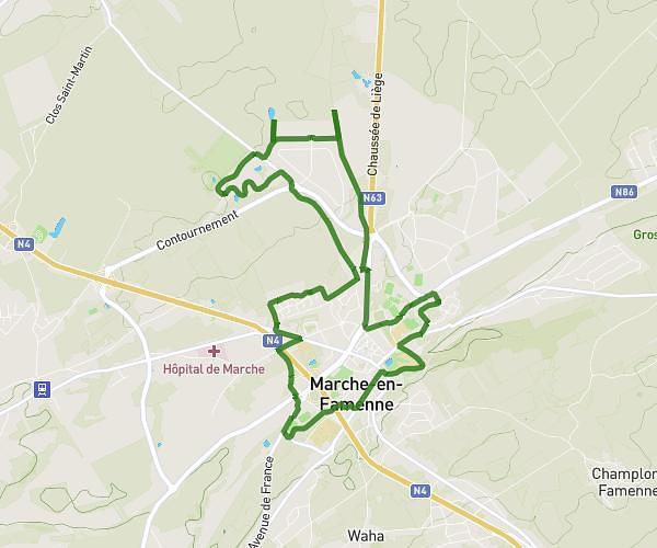
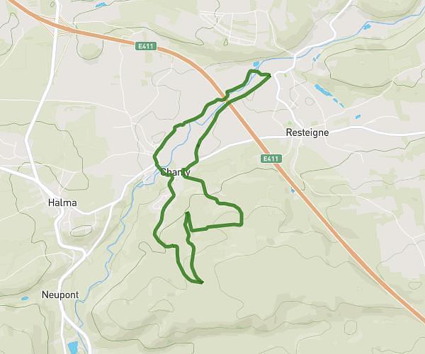
This running route covers 4.568mi starting from Aubange, Luxembourg. The run is a loop trail and returns to the trailhead. This run is rated as easy, expect about 49m to complete it. The route has an elevation gain of 279ft and an elevation loss of 272ft.
2 janvier
Route details
5.59mph
Speed
560 kcal
Calories burned
Loop trail
Route type
873ft
Min altitude
968ft
Max altitude
Route profile
279ft
Elevation gain
272ft
Elevation loss
873ft
Min altitude
968ft
Max altitude
How to get there
Trailhead: Rue De France 53, 6791 Aubange, Luxembourg, Belgium
GPS coordinates of the trailhead: 49.559618, 5.823761 / 49°33'34'' N, 5°49'25'' E