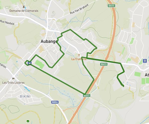
This running route covers 2.555mi starting from Arrancy-sur-Crusnes, Meuse. The run does not return to the trailhead and ends near Place De La Victoire, 54620 Pierrepont. This run is rated as easy, expect about 25m to complete it. The route has an elevation gain of 33ft and an elevation loss of 79ft.
Marché aperitif
Route details
6.13mph
Speed
286 kcal
Calories burned
Point to point
Route type
758ft
Min altitude
837ft
Max altitude
Route profile
33ft
Elevation gain
79ft
Elevation loss
758ft
Min altitude
837ft
Max altitude
How to get there
Trailhead: Rue Mutel, 55230 Arrancy-sur-Crusnes
GPS coordinates of the trailhead: 49.41436, 5.65944 / 49°24'51'' N, 5°39'33'' E