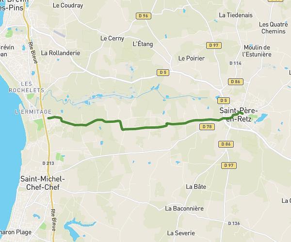
This running route covers 3.917mi starting from Saint-Brevin-les-Pins, Loire-Atlantique. The run does not return to the trailhead and ends near 20 La Pitardais, 44560 Corsept, France. This run is rated as easy, expect about 38m to complete it. The route has an elevation gain of 82ft and an elevation loss of 72ft.
st brevion le 21 juilet 2024
Route details
6.18mph
Speed
434 kcal
Calories burned
Point to point
Route type
13ft
Min altitude
56ft
Max altitude
Route profile
82ft
Elevation gain
72ft
Elevation loss
13ft
Min altitude
56ft
Max altitude
How to get there
Trailhead: 8 Avenue Du Val Coquet, 44250 Saint-Brevin-les-Pins, France
GPS coordinates of the trailhead: 47.26589, -2.16921 / 47°15'57'' N, 2°10'9'' W