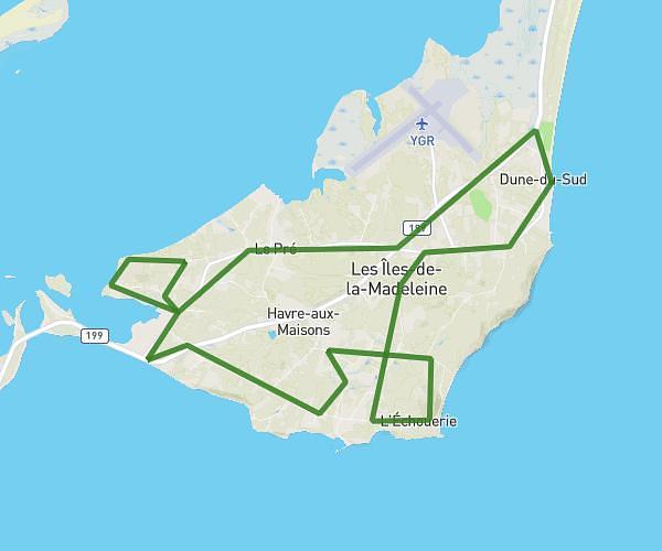
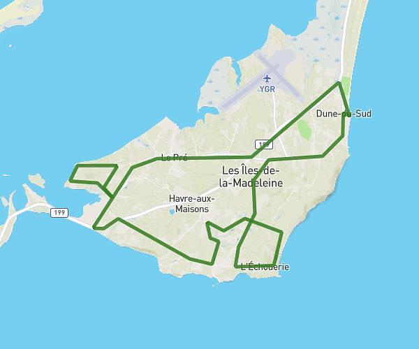
This running route covers 13.123mi starting from L'Étang-du-Nord, Quebec. The run does not return to the trailhead and ends near 336 Chemin De La Dune-Du-Sud, Havre-aux-Maisons, Quebec G4T 5G1, Canada. This run is rated as strenuous, expect about 2h20m to complete it. The route has an elevation gain of 735ft and an elevation loss of 722ft.
21.1 original
Route details
5.59mph
Speed
1611 kcal
Calories burned
Point to point
Route type
-7ft
Min altitude
197ft
Max altitude
Route profile
735ft
Elevation gain
722ft
Elevation loss
-7ft
Min altitude
197ft
Max altitude
How to get there
Trailhead: 499 Chemin Boisville Ouest, L'Étang-du-Nord, Quebec G4T 3J8, Canada
GPS coordinates of the trailhead: 47.369988, -61.955916 / 47°22'11'' N, 61°57'21'' W