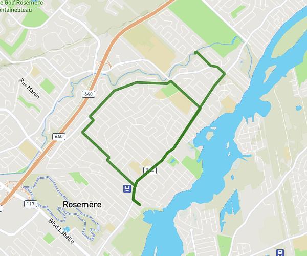
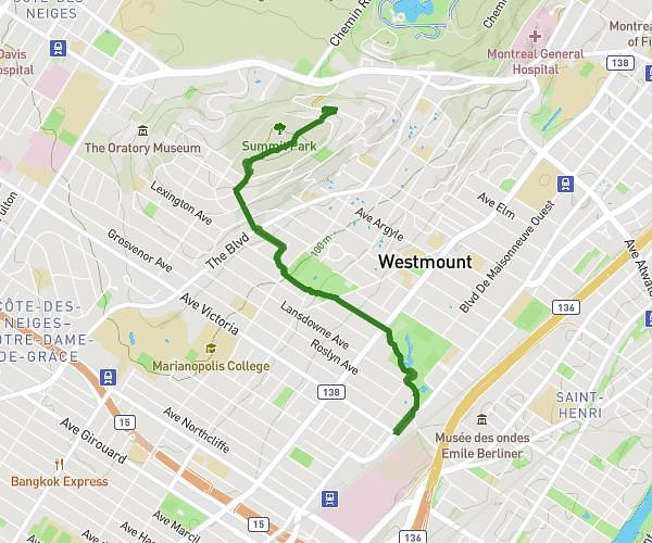
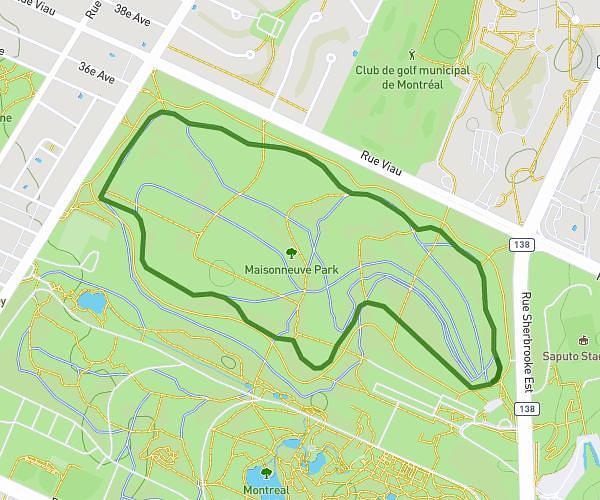
This running route covers 13.111mi starting from Montréal, Quebec. The run does not return to the trailhead and ends near Chemin Du Tour-De-L'isle, H3C 4G8 Montréal. This run is rated as strenuous, expect about 2h6m to complete it. The route has an elevation gain of 571ft and an elevation loss of 538ft.
Semi-marathon
Route details
6.21mph
Speed
1447 kcal
Calories burned
Point to point
Route type
13ft
Min altitude
223ft
Max altitude
Route profile
571ft
Elevation gain
538ft
Elevation loss
13ft
Min altitude
223ft
Max altitude
How to get there
Trailhead: Chemin Du Tour-De-L'isle, H3C 4G8 Montréal
GPS coordinates of the trailhead: 45.51281, -73.5322 / 45°30'46'' N, 73°31'55'' W