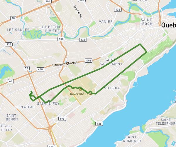
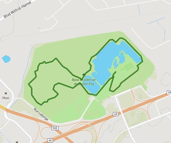
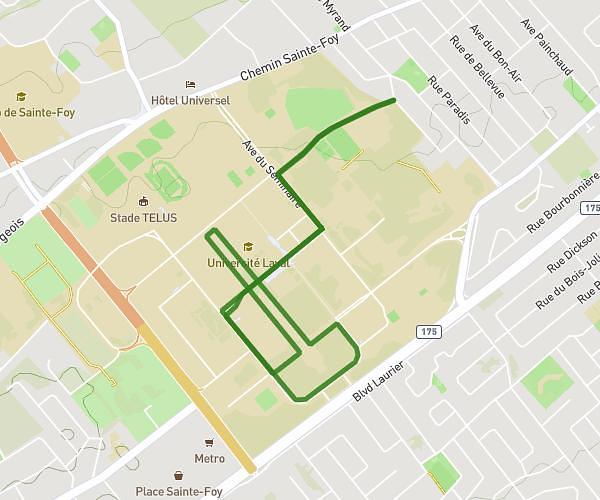
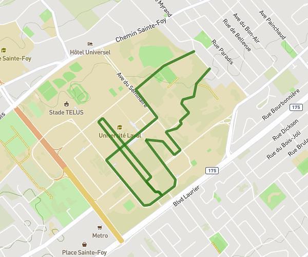
This running route covers 7.445mi starting from Saint-Gilles, Quebec. The run is a loop trail and returns to the trailhead. This run is rated as moderate, expect about 1h11m to complete it. The route has an elevation gain of 7ft and an elevation loss of 7ft.
Route 273
Route details
6.21mph
Speed
822 kcal
Calories burned
Loop trail
Route type
407ft
Min altitude
413ft
Max altitude
Route profile
7ft
Elevation gain
7ft
Elevation loss
407ft
Min altitude
413ft
Max altitude
How to get there
Trailhead: Route 273, G0S 2P0 Saint-Gilles
GPS coordinates of the trailhead: 46.52645, -71.37054 / 46°31'35'' N, 71°22'13'' W