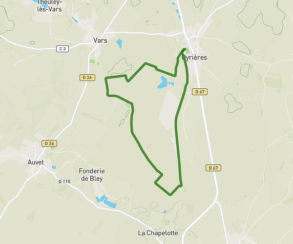
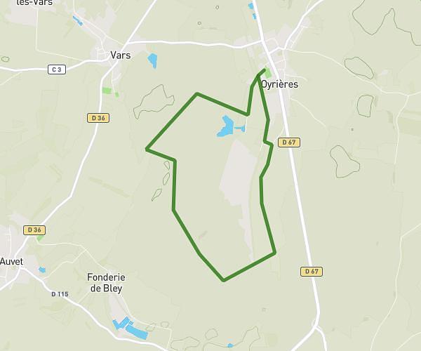
This running route covers 0.516mi starting from Membrey, Haute-Saône. The run does not return to the trailhead and ends near D 5, 70180 Membrey, France. This run is rated as easy, expect about 6m13s to complete it. The route has an elevation gain of 7ft and an elevation loss of 13ft.
Essaie
Route details
4.97mph
Speed
71 kcal
Calories burned
Point to point
Route type
643ft
Min altitude
656ft
Max altitude
Route profile
7ft
Elevation gain
13ft
Elevation loss
643ft
Min altitude
656ft
Max altitude
How to get there
Trailhead: 8 Rue Neuve, 70180 Membrey, France
GPS coordinates of the trailhead: 47.588431, 5.744226 / 47°35'18'' N, 5°44'39'' E