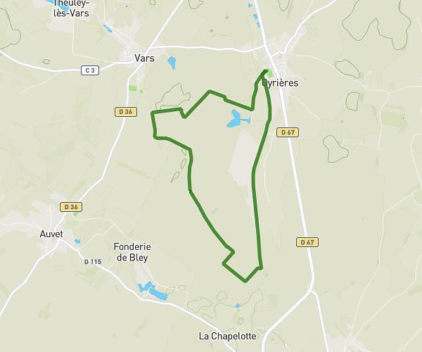
This running route covers 4.995mi starting from Oyrières, Haute-Saône. The run is a loop trail and returns to the trailhead. This run is rated as moderate, expect about 1h40m to complete it. The route has an elevation gain of 138ft and an elevation loss of 115ft.
parcours 8 km
Route details
2.98mph
Speed
1150 kcal
Calories burned
Loop trail
Route type
600ft
Min altitude
715ft
Max altitude
Route profile
138ft
Elevation gain
115ft
Elevation loss
600ft
Min altitude
715ft
Max altitude
How to get there
Trailhead: Rue Du Stade, 70600 Oyrières
GPS coordinates of the trailhead: 47.53208, 5.56151 / 47°31'55'' N, 5°33'41'' E