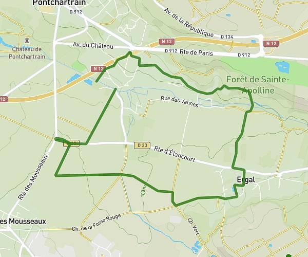
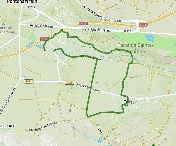
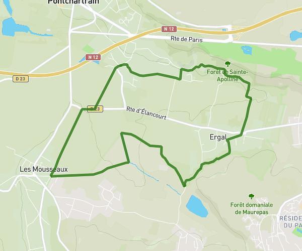
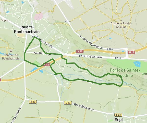
This walking route covers 3.769mi starting from Jouars-Pontchartrain, Yvelines. The walk is a loop trail and returns to the trailhead. This walk is rated as moderate, plan for about 1h30m to complete it. The route has an elevation gain of 463ft and an elevation loss of 463ft.
Rallye pédestre 2
Route details
24:08/mi
Pace
371 kcal
Calories burned
Loop trail
Route type
243ft
Min altitude
407ft
Max altitude
Route profile
463ft
Elevation gain
463ft
Elevation loss
243ft
Min altitude
407ft
Max altitude
How to get there
Trailhead: 1 Rue De Châteauvillain, 78760 Jouars-Pontchartrain, France
GPS coordinates of the trailhead: 48.794128, 1.908751 / 48°47'38'' N, 1°54'31'' E