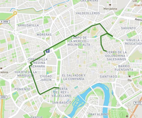
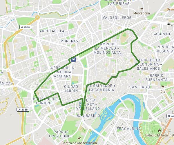
This running route covers 5.441mi starting from Córdoba, Córdoba. The run is a loop trail and returns to the trailhead. This run is rated as moderate, expect about 45m to complete it. The route has an elevation gain of 269ft and an elevation loss of 269ft.
Carrera no guardada 6437447
Route details
7.26mph
Speed
515 kcal
Calories burned
Loop trail
Route type
354ft
Min altitude
433ft
Max altitude
Route profile
269ft
Elevation gain
269ft
Elevation loss
354ft
Min altitude
433ft
Max altitude
How to get there
Trailhead: Calle Roelas 16, 14001 Córdoba, Córdoba, Spain
GPS coordinates of the trailhead: 37.88868, -4.77019 / 37°53'19'' N, 4°46'12'' W