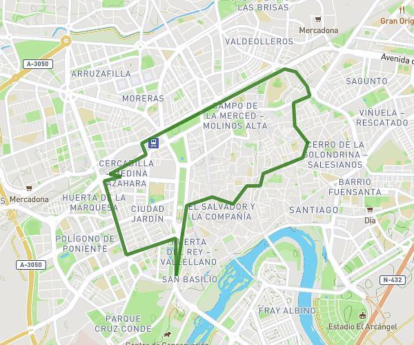
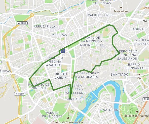
This running route covers 3.908mi starting from Córdoba, Córdoba. The run does not return to the trailhead and ends near Avenida Conde De Vallellano, 14004 Córdoba. This run is rated as easy, expect about 34m to complete it. The route has an elevation gain of 52ft and an elevation loss of 36ft.
CARRERITA
Route details
6.9mph
Speed
389 kcal
Calories burned
Point to point
Route type
358ft
Min altitude
410ft
Max altitude
Route profile
52ft
Elevation gain
36ft
Elevation loss
358ft
Min altitude
410ft
Max altitude
How to get there
Trailhead: Calle Del Cristo, 14001 Córdoba
GPS coordinates of the trailhead: 37.8887, -4.77018 / 37°53'19'' N, 4°46'12'' W