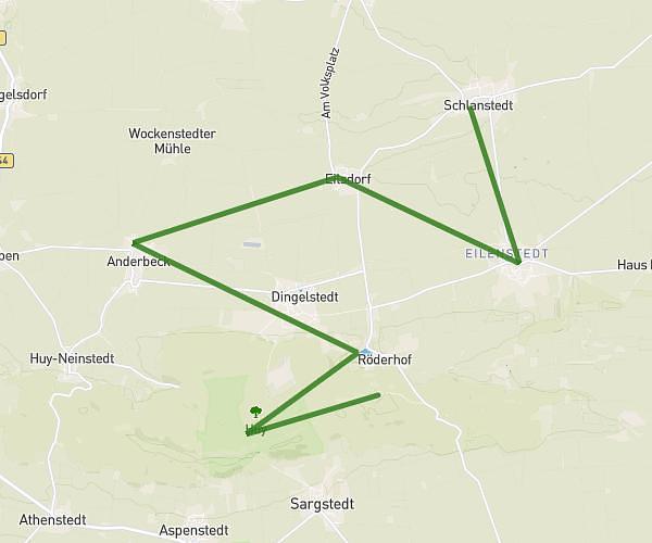
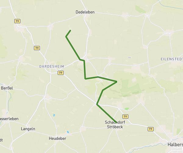
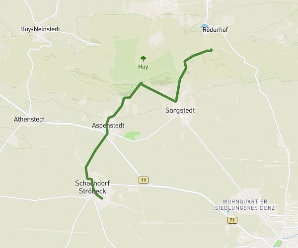
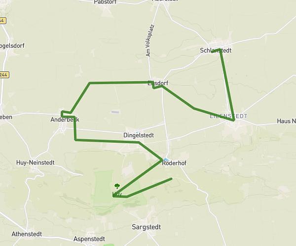
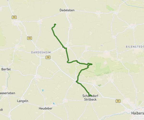
This running route covers 10.509mi starting from Osterwieck, Saxony-Anhalt. The run is a loop trail and returns to the trailhead. This run is rated as moderate, expect about 1h45m to complete it. The route has an elevation gain of 112ft and an elevation loss of 105ft.
Laufen
Route details
6.0mph
Speed
1201 kcal
Calories burned
Loop trail
Route type
413ft
Min altitude
495ft
Max altitude
Route profile
112ft
Elevation gain
105ft
Elevation loss
413ft
Min altitude
495ft
Max altitude
How to get there
Trailhead: Vor Der Bahn 17, 38835 Osterwieck, Germany
GPS coordinates of the trailhead: 51.942826, 10.713481 / 51°56'34'' N, 10°42'48'' E