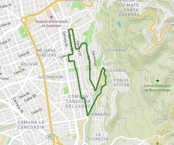
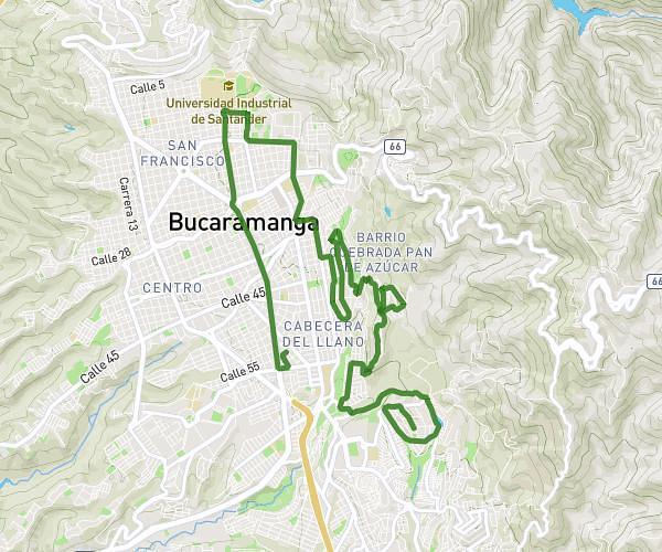
This running route covers 10.133mi starting from Bucaramanga, Santander. The run is a loop trail and returns to the trailhead. This run is rated as hard, expect about 2h to complete it. The route has an elevation gain of 1125ft and an elevation loss of 1119ft.
16k BGA
Route details
5.06mph
Speed
1372 kcal
Calories burned
Loop trail
Route type
3163ft
Min altitude
3517ft
Max altitude
Route profile
1125ft
Elevation gain
1119ft
Elevation loss
3163ft
Min altitude
3517ft
Max altitude
How to get there
Trailhead: Avenida Carrera 27 55 25, 680003 Bucaramanga, Santander, Colombia
GPS coordinates of the trailhead: 7.10918, -73.11422 / 7°6'33'' N, 73°6'51'' W