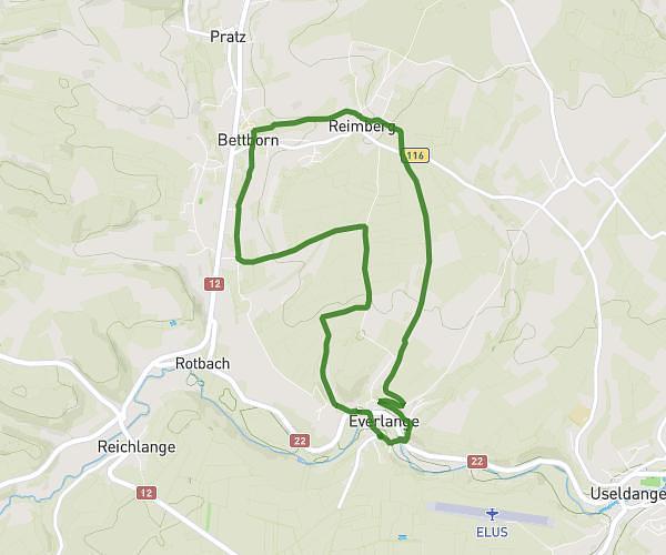
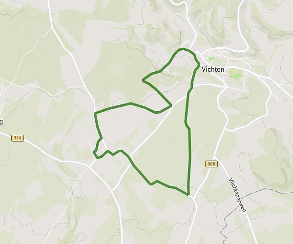
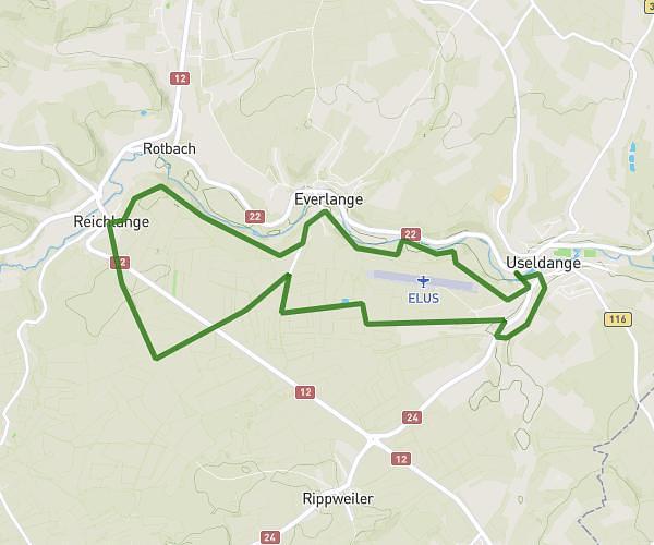
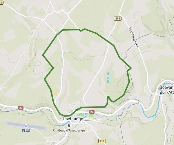
This hiking trail covers 11.621mi starting from Platen, Redange. The hike is a loop trail and returns to the trailhead. This hike is rated as hard, plan for about 4h14m to complete it. The route has an elevation gain of 1227ft and an elevation loss of 1227ft.
Wander und MTB Strecke
Route details
2.75mph
Speed
1837 kcal
Calories burned
4.0%
Avg grade
Loop trail
Route type
883ft
Min altitude
1499ft
Max altitude
Route profile
1227ft
Elevation gain
1227ft
Elevation loss
883ft
Min altitude
1499ft
Max altitude
How to get there
Trailhead: 1, Rue Du Pont, 8611 Platen, Luxembourg
GPS coordinates of the trailhead: 49.79364, 5.93703 / 49°47'37'' N, 5°56'13'' E