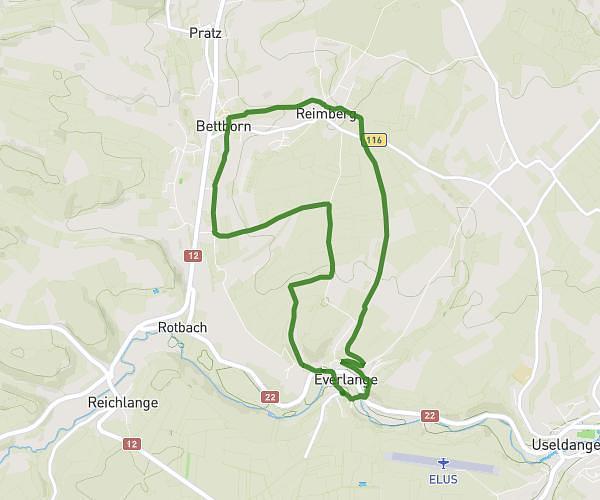
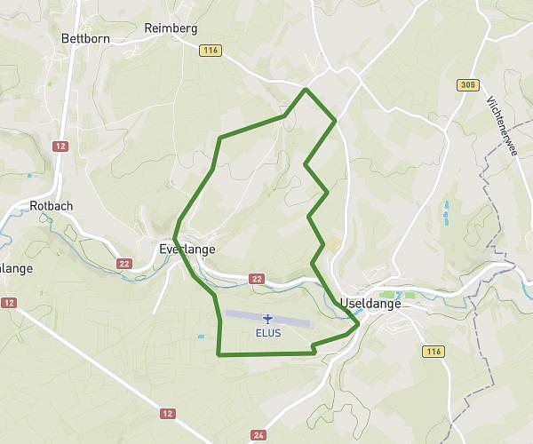
This hiking trail covers 4.399mi starting from Useldange, Redange. The hike is a loop trail and returns to the trailhead. This hike is rated as moderate, plan for about 1h24m to complete it. The route has an elevation gain of 489ft and an elevation loss of 495ft.
Wanderstrecke Useldange 2
Route details
3.11mph
Speed
616 kcal
Calories burned
4.2%
Avg grade
Loop trail
Route type
797ft
Min altitude
1047ft
Max altitude
Route profile
489ft
Elevation gain
495ft
Elevation loss
797ft
Min altitude
1047ft
Max altitude
How to get there
Trailhead: 2, Rue De Vichten, 8707 Useldange, Luxembourg
GPS coordinates of the trailhead: 49.77168, 5.9832 / 49°46'18'' N, 5°58'59'' E