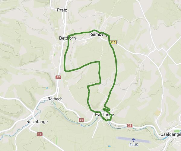
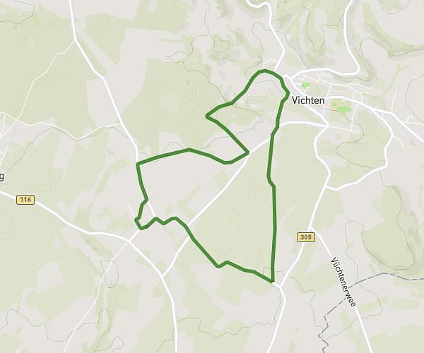
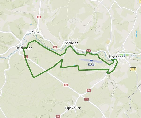
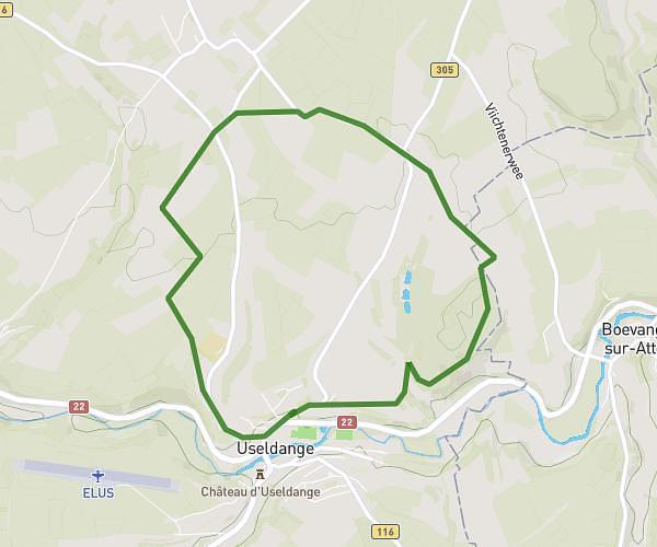
This hiking trail covers 5.43mi starting from Useldange, Redange. The hike is a loop trail and returns to the trailhead. This hike is rated as moderate, plan for about 1h44m to complete it. The route has an elevation gain of 531ft and an elevation loss of 535ft.
Wanderstrecke Useldange 1
Route details
3.11mph
Speed
757 kcal
Calories burned
3.7%
Avg grade
Loop trail
Route type
801ft
Min altitude
1047ft
Max altitude
Route profile
531ft
Elevation gain
535ft
Elevation loss
801ft
Min altitude
1047ft
Max altitude
How to get there
Trailhead: Ökoparking, 8707 Useldange, Luxembourg
GPS coordinates of the trailhead: 49.76883, 5.97821 / 49°46'7'' N, 5°58'41'' E