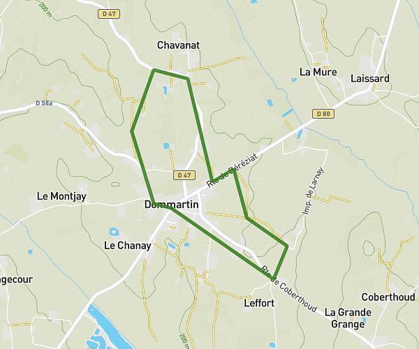
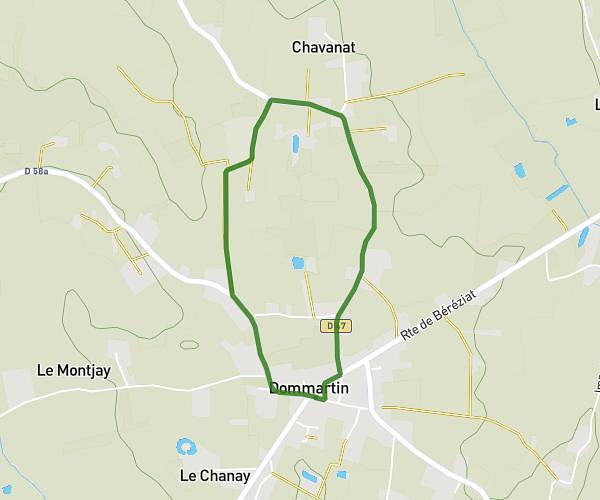
This running route covers 3.378mi starting from Bourg-en-Bresse, Ain. The run is a loop trail and returns to the trailhead. This run is rated as easy, expect about 44m to complete it. The route has an elevation gain of 95ft and an elevation loss of 92ft.
Rugby
Route details
4.6mph
Speed
503 kcal
Calories burned
Loop trail
Route type
745ft
Min altitude
840ft
Max altitude
Route profile
95ft
Elevation gain
92ft
Elevation loss
745ft
Min altitude
840ft
Max altitude
How to get there
Trailhead: 1060 Chemin De La Chagne, 01000 Bourg-en-Bresse, France
GPS coordinates of the trailhead: 46.205896, 5.270429 / 46°12'21'' N, 5°16'13'' E