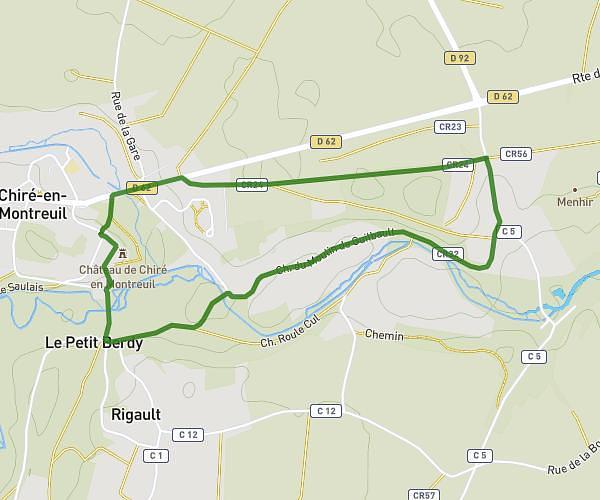
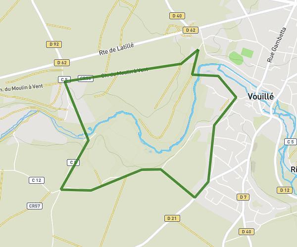
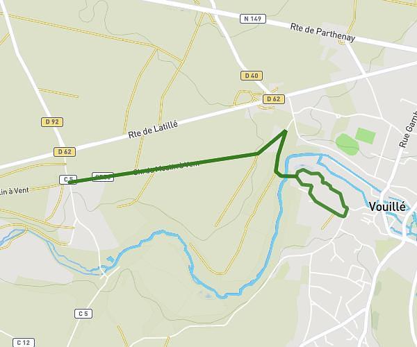
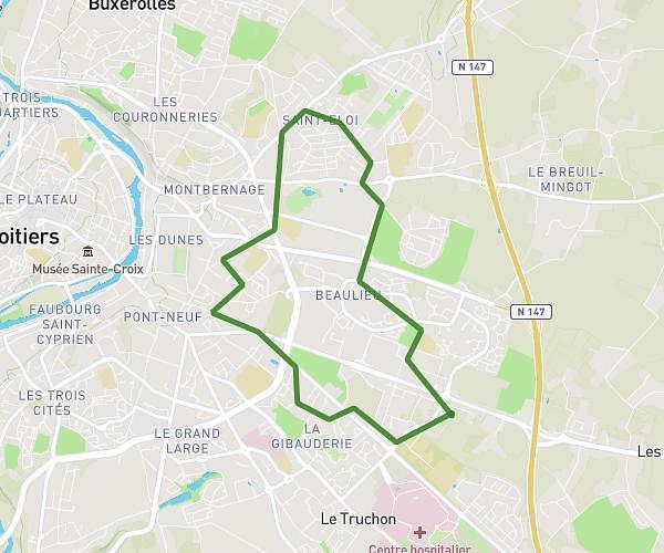
This running route covers 6.232mi starting from Saint-Benoît, Vienne. The run is a loop trail and returns to the trailhead. This run is rated as moderate, expect about 1h7m to complete it. The route has an elevation gain of 43ft and an elevation loss of 39ft.
10km
Route details
5.58mph
Speed
766 kcal
Calories burned
Loop trail
Route type
387ft
Min altitude
427ft
Max altitude
Route profile
43ft
Elevation gain
39ft
Elevation loss
387ft
Min altitude
427ft
Max altitude
How to get there
Trailhead: 20 Rue Éric Tabarly, 86280 Saint-Benoît, France
GPS coordinates of the trailhead: 46.5595, 0.36397 / 46°33'34'' N, 0°21'50'' E