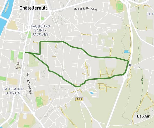
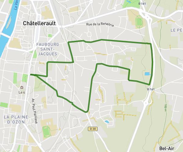
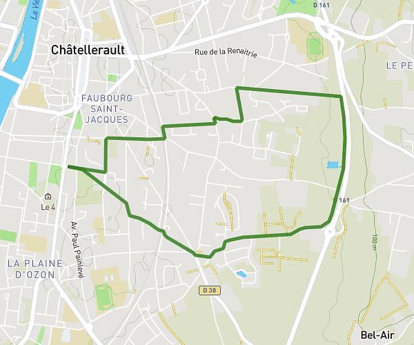
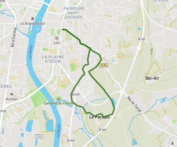
This running route covers 5.266mi starting from Cenon-sur-Vienne, Vienne. The run is a loop trail and returns to the trailhead. This run is rated as moderate, expect about 57m to complete it. The route has an elevation gain of 194ft and an elevation loss of 194ft.
Cenon sur Vienne
Route details
5.54mph
Speed
652 kcal
Calories burned
Loop trail
Route type
164ft
Min altitude
197ft
Max altitude
Route profile
194ft
Elevation gain
194ft
Elevation loss
164ft
Min altitude
197ft
Max altitude
How to get there
Trailhead: 7 Rue De Bourgogne, 86530 Cenon-sur-Vienne, France
GPS coordinates of the trailhead: 46.77264, 0.53559 / 46°46'21'' N, 0°32'8'' E