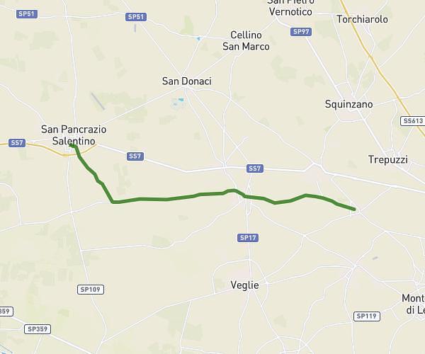
This running route covers 1.968mi starting from Surbo, Lecce. The run does not return to the trailhead and ends near Via Addolorata Ungaro, 73010 Surbo Lecce, Italy. This run is rated as easy, expect about 21m6s to complete it. The route has an elevation gain of 66ft and an elevation loss of 98ft.
Springer's walk
Route details
5.6mph
Speed
241 kcal
Calories burned
Point to point
Route type
82ft
Min altitude
128ft
Max altitude
Route profile
66ft
Elevation gain
98ft
Elevation loss
82ft
Min altitude
128ft
Max altitude
How to get there
Trailhead: Via Del Mare 40, 73010 Surbo Lecce, Italy
GPS coordinates of the trailhead: 40.399752, 18.13593 / 40°23'59'' N, 18°8'9'' E