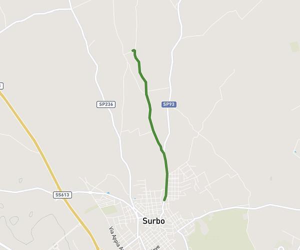
This running route covers 12.641mi starting from San Pancrazio Salentino, Brindisi. The run does not return to the trailhead and ends near Via Borgo 21, 73051 Novoli Lecce, Italy. This run is rated as strenuous, expect about 2h15m to complete it. The route has an elevation gain of 105ft and an elevation loss of 217ft.
SPS-Novoli
Route details
5.59mph
Speed
1551 kcal
Calories burned
Point to point
Route type
85ft
Min altitude
203ft
Max altitude
Route profile
105ft
Elevation gain
217ft
Elevation loss
85ft
Min altitude
203ft
Max altitude
How to get there
Trailhead: Via Gaetano Salvemini 28, 72026 San Pancrazio Salentino Brindisi, Italy
GPS coordinates of the trailhead: 40.413774, 17.837323 / 40°24'49'' N, 17°50'14'' E