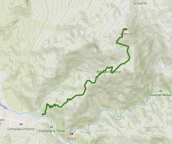
This running route covers 2.569mi starting from La Falda, Córdoba. The run does not return to the trailhead and ends near La Mádre, Huerta Grande, Córdoba, X5174, Argentina. This run is rated as easy, expect about 21m55s to complete it. The route has an elevation gain of 1457ft and an elevation loss of 1627ft.
Cerro Banderita
Route details
7.03mph
Speed
251 kcal
Calories burned
Point to point
Route type
3363ft
Min altitude
4777ft
Max altitude
Route profile
1457ft
Elevation gain
1627ft
Elevation loss
3363ft
Min altitude
4777ft
Max altitude
How to get there
Trailhead: Los Aromos, La Falda, Córdoba, X5172, Argentina
GPS coordinates of the trailhead: -31.089018, -64.461013 / 31°5'20'' S, 64°27'39'' W