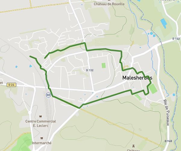
This hiking trail covers 2.531mi starting from Avon, Seine-et-Marne. The hike is a loop trail and returns to the trailhead. This hike is rated as easy, plan for about 1h37m to complete it. The route has an elevation gain of 279ft and an elevation loss of 279ft.
Rando 5
Route details
1.55mph
Speed
708 kcal
Calories burned
4.2%
Avg grade
Loop trail
Route type
187ft
Min altitude
420ft
Max altitude
Route profile
279ft
Elevation gain
279ft
Elevation loss
187ft
Min altitude
420ft
Max altitude
How to get there
Trailhead: 2 Rue De La Moinerie, 77210 Avon, France
GPS coordinates of the trailhead: 48.40736, 2.72188 / 48°24'26'' N, 2°43'18'' E