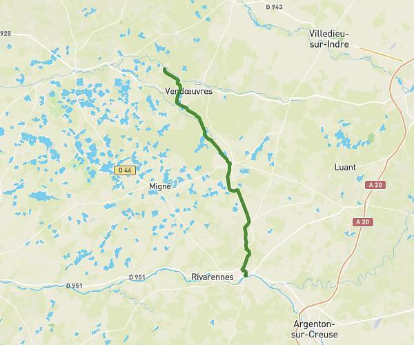
This hiking trail covers 3.537mi starting from Vendœuvres, Indre. The hike is a loop trail and returns to the trailhead. This hike is rated as easy, plan for about 1h12m to complete it. The route has an elevation gain of 108ft and an elevation loss of 105ft.
Hki
Route details
2.95mph
Speed
509 kcal
Calories burned
1.1%
Avg grade
Loop trail
Route type
358ft
Min altitude
410ft
Max altitude
Route profile
108ft
Elevation gain
105ft
Elevation loss
358ft
Min altitude
410ft
Max altitude
How to get there
Trailhead: D 11a, 36500 Vendœuvres, France
GPS coordinates of the trailhead: 46.794096, 1.369291 / 46°47'38'' N, 1°22'9'' E