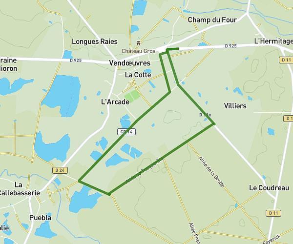
This hiking trail covers 16.507mi starting from Vendœuvres, Indre. The hike does not return to the trailhead and ends near Avenue De Lignac, 36800 Saint-Gaultier. This hike is rated as moderate, plan for about 5h18m to complete it. The route has an elevation gain of 538ft and an elevation loss of 545ft.
Vignodière-Saint-Gaultier
Route details
3.11mph
Speed
2254 kcal
Calories burned
1.2%
Avg grade
Point to point
Route type
331ft
Min altitude
538ft
Max altitude
Route profile
538ft
Elevation gain
545ft
Elevation loss
331ft
Min altitude
538ft
Max altitude
How to get there
Trailhead: La Vignodiere, 36500 Vendœuvres
GPS coordinates of the trailhead: 46.82063, 1.3243 / 46°49'14'' N, 1°19'27'' E