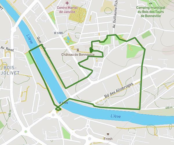
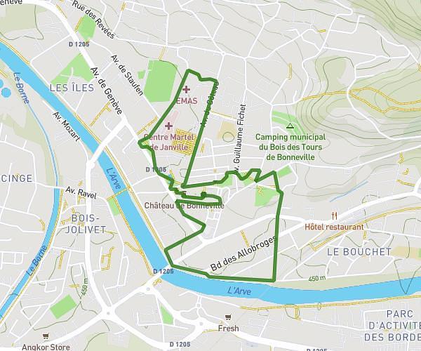
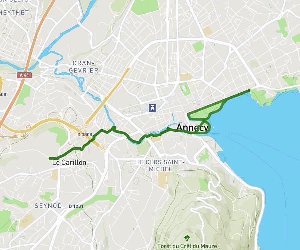
This running route covers 4.432mi starting from Annecy, Haute-Savoie. The run is a loop trail and returns to the trailhead. This run is rated as easy, expect about 48m5s to complete it. The route has an elevation gain of 10ft and an elevation loss of 16ft.
Annecy
Route details
5.53mph
Speed
550 kcal
Calories burned
Loop trail
Route type
1473ft
Min altitude
1486ft
Max altitude
Route profile
10ft
Elevation gain
16ft
Elevation loss
1473ft
Min altitude
1486ft
Max altitude
How to get there
Trailhead: 37 Avenue D'albigny, 74000 Annecy, France
GPS coordinates of the trailhead: 45.90469, 6.14279 / 45°54'16'' N, 6°8'34'' E