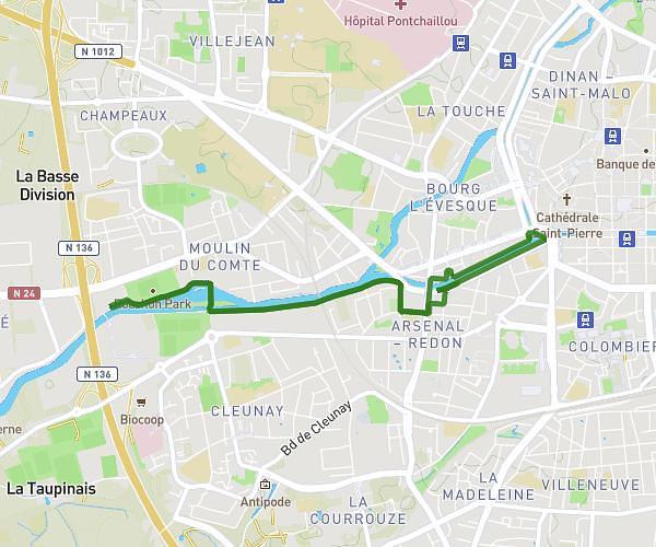
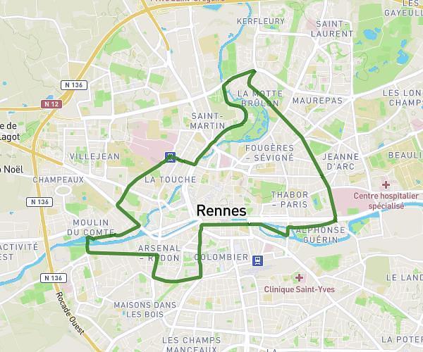
This running route covers 1.706mi starting from Bréal-sous-Montfort, Ille-et-Vilaine. The run is a loop trail and returns to the trailhead. This run is rated as easy, expect about 25m to complete it. The route has an elevation gain of 131ft and an elevation loss of 128ft.
Le Fougeray
Route details
4.09mph
Speed
286 kcal
Calories burned
Loop trail
Route type
144ft
Min altitude
243ft
Max altitude
Route profile
131ft
Elevation gain
128ft
Elevation loss
144ft
Min altitude
243ft
Max altitude
How to get there
Trailhead: Route De La Roche Aux Mouettes, 35310 Bréal-sous-Montfort, France
GPS coordinates of the trailhead: 48.0361, -1.85001 / 48°2'9'' N, 1°51'0'' W