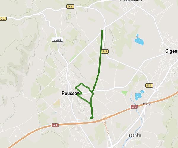
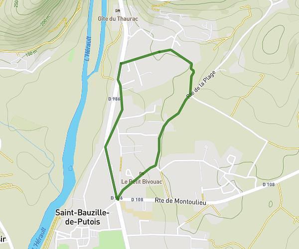
This running route covers 0.642mi starting from Montpeyroux, Hérault. The run does not return to the trailhead and ends near 70 Rue De La Dysse, 34150 Montpeyroux, France. This run is rated as easy, expect about 3h2m to complete it. The route has an elevation gain of 26ft and an elevation loss of 43ft.
Essaie
Route details
0.21mph
Speed
2081 kcal
Calories burned
Point to point
Route type
453ft
Min altitude
489ft
Max altitude
Route profile
26ft
Elevation gain
43ft
Elevation loss
453ft
Min altitude
489ft
Max altitude
How to get there
Trailhead: 11 Rue De La Dysse, 34150 Montpeyroux, France
GPS coordinates of the trailhead: 43.6952, 3.5058 / 43°41'42'' N, 3°30'20'' E