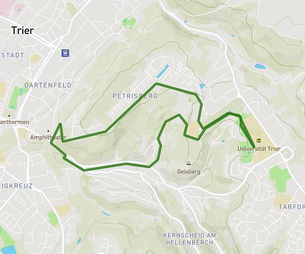
This hiking trail covers 5.366mi starting from Trier, Rhineland-Palatinate. The hike is a loop trail and returns to the trailhead. This hike is rated as moderate, plan for about 59m to complete it. The route has an elevation gain of 755ft and an elevation loss of 755ft.
Maiwanderung
Route details
5.46mph
Speed
431 kcal
Calories burned
5.3%
Avg grade
Loop trail
Route type
486ft
Min altitude
856ft
Max altitude
Route profile
755ft
Elevation gain
755ft
Elevation loss
486ft
Min altitude
856ft
Max altitude
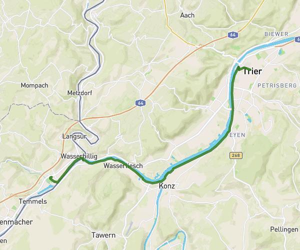
How to get there
Trailhead: Universitätsring 10, 54296 Trier, Germany
GPS coordinates of the trailhead: 49.74593, 6.686316 / 49°44'45'' N, 6°41'10'' E