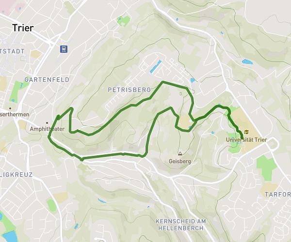
This hiking trail covers 11.502mi starting from Trier, Rhineland-Palatinate. The hike does not return to the trailhead and ends near Place De La Gare, 6674 Mertert. This hike is rated as easy, plan for about 1h14m to complete it. The route has an elevation gain of 256ft and an elevation loss of 210ft.
Ragondins 2023/3 - dimanche
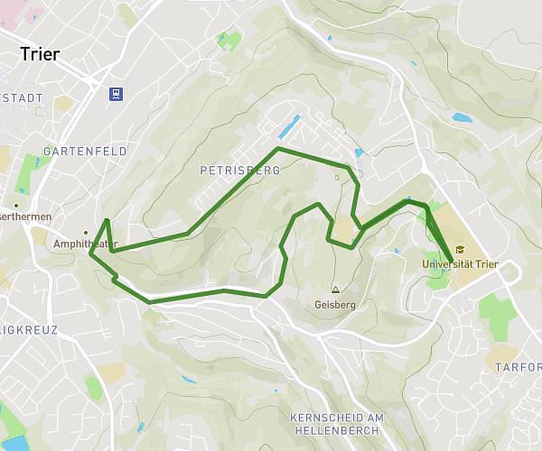
Route details
9.32mph
Speed
522 kcal
Calories burned
0.8%
Avg grade
Point to point
Route type
420ft
Min altitude
495ft
Max altitude
Route profile
256ft
Elevation gain
210ft
Elevation loss
420ft
Min altitude
495ft
Max altitude
How to get there
Trailhead: Franz-Ludwig-Straße, 54290 Trier
GPS coordinates of the trailhead: 49.76042, 6.64231 / 49°45'37'' N, 6°38'32'' E