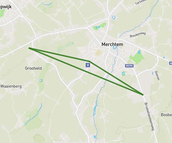
This running route covers 3.273mi starting from Schaerbeek, Brussels-Capital. The run does not return to the trailhead and ends near Rue De La Paix - Vredestraat 22, 1050 Ixelles, Brussels-Capital, Belgium. This run is rated as easy, expect about 11s to complete it. The route has an elevation gain of 335ft and an elevation loss of 220ft.
Xxx
Route details
1071.24mph
Speed
2 kcal
Calories burned
Point to point
Route type
108ft
Min altitude
276ft
Max altitude
Route profile
335ft
Elevation gain
220ft
Elevation loss
108ft
Min altitude
276ft
Max altitude
How to get there
Trailhead: Rue Charles Van Lerberghe - Charles Van Lerberghestraat 20, 1030 Schaerbeek, Brussels-Capital, Belgium
GPS coordinates of the trailhead: 50.87377, 4.390172 / 50°52'25'' N, 4°23'24'' E