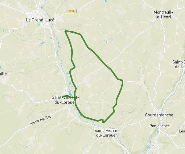
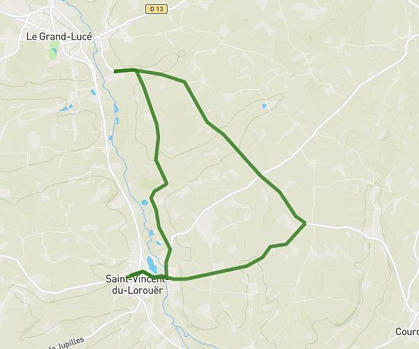
This running route covers 6.236mi starting from Luceau, Sarthe. The run is a loop trail and returns to the trailhead. This run is rated as moderate, expect about 50m54s to complete it. The route has an elevation gain of 102ft and an elevation loss of 85ft.
Lehoux Anthony
Route details
7.35mph
Speed
582 kcal
Calories burned
Loop trail
Route type
167ft
Min altitude
269ft
Max altitude
Route profile
102ft
Elevation gain
85ft
Elevation loss
167ft
Min altitude
269ft
Max altitude
How to get there
Trailhead: Route Du Mans, 72500 Luceau, France
GPS coordinates of the trailhead: 47.70425, 0.40775 / 47°42'15'' N, 0°24'27'' E